
Plug in to seamless
property intelligence.
API Integration
Integrate zoning, planning, and land-use intelligence directly into your own platform.
Data integration
Enrich your platform.
Plug directly into LandLogic to integrate our land-use, planning, and property data inside your own system. You keep full control over how the data is used and displayed.
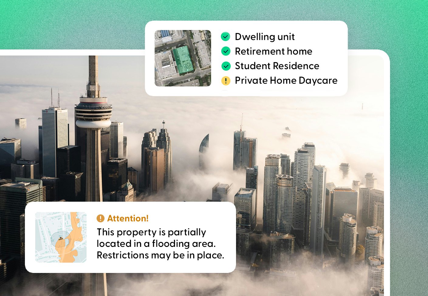
Reports API
Offer expert reports.
Embed LandLogic reports within your own platform, with your own branding. Use them to enhance team workflows, or offer them as assets to your clients.
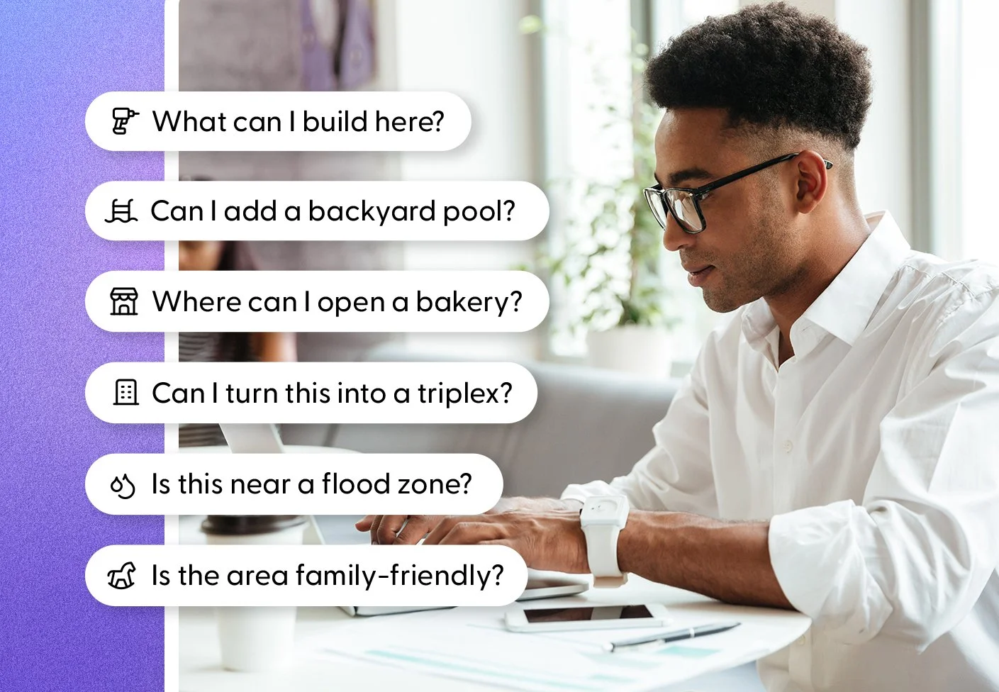
Conversational AI integration
Bring land-use into conversational AI.
Unlock natural-language access to land and property intelligence without sacrificing accuracy. We are currently pilot testing these integrations and offering demos to interested partners.


Lovish Gupta
Director of Real Estate, Teranet Inc.
Integrating LandLogic’s data into GeoWarehouse has been a major value-add for our users. What was once complex is now instantly clear, enabling real estate professionals in Ontario to make faster, more informed decisions. The collaboration has been seamless, with LandLogic’s team proving consistently responsive and detail-oriented.
get started fast
Simple access, powerful results.
Without access to machine-ready data, real estate professionals are doing painstaking manual research and analysis every day. It's time to access to the most powerful property data intelligence hub in Canada – in just three steps.


Select your API
Pick the solution that best fits your workflow and needs.

Plug in
Our experts connect it right into your platform or business.

Work smarter
Harness your seamless access to property intelligence!

FAQ
Answering your API questions.
We’ve answered some of the questions that we get the most, but if you have a more specific query, don’t hesitate to contact us.
-
A LandLogic API lets your systems connect directly to LandLogic’s land-use and property intelligence. It allows your applications or client offerings access the same reliable zoning, planning, and property data that powers the LandLogic platform. You receive clean, consistent data in a format that’s easy to use and scale. Just plug in to our data and use it as your own.
-
LandLogic APIs help you create new revenue opportunities and strengthen your client offerings. By embedding zoning-accurate, machine-readable property intelligence into your products or services, you can deliver faster insights, higher-value analysis, and more differentiated solutions. This allows teams to serve more clients, reduce manual research costs, and unlock premium use cases that would otherwise be too slow or complex to support.
-
Yes. LandLogic APIs are designed to be flexible and configurable. Whether you need specific data categories, geographic coverage, or outputs tailored to your product or workflow, we work with you to shape the API around your requirements. The goal is not a one-size-fits-all solution, but a partnership that fits seamlessly into how your business operates.
-
We start by understanding what type of intelligence you need and how you plan to use it. From there, the LandLogic team handles the setup, configuration, and integration support. You don’t need to worry about technical complexity or data engineering challenges. Our team takes care of the heavy lifting so you can focus on using the intelligence, not building infrastructure.
-
Yes. All LandLogic APIs update automatically as new data, enhancements, and intelligence are released. As soon as updates go live, they are reflected in your integration with no additional work required on your end. This ensures you are always working with the most current, standardized intelligence available.
-
LandLogic APIs are built for organizations that need more than access to the Data Studio. The Data Studio subscription is designed for easy, out-of-the-box access to LandLogic’s intelligence. APIs are for teams that want to make that intelligence their own, such as embedding it into internal systems, powering their own products, or delivering land-use insights directly to their customers. If you need to embed LandLogic data across your organization or at scale, the API is the right fit.

Every organization uses property data differently, so LandLogic APIs are designed to be flexible, scalable, and tailored to your specific needs.